

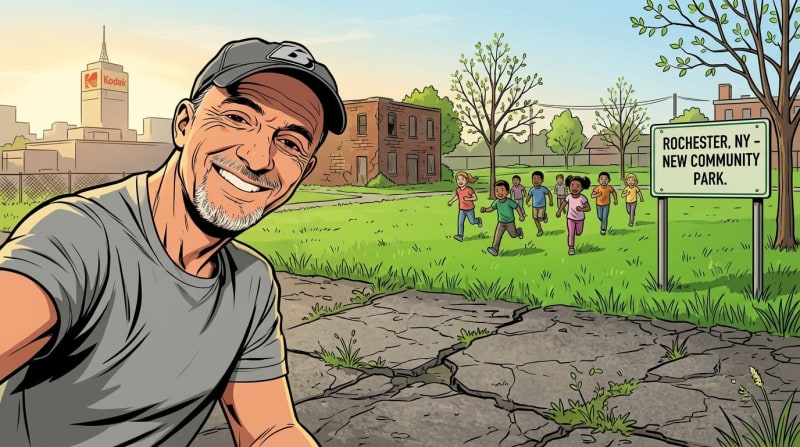
Rochester Is Tearing Out the Inner Loop North — And It Can't Happen Soon Enough
The Short Version
- Rochester is removing the Inner Loop North — the sunken expressway that ringed downtown like a moat and separated the city from itself for 60 years.
- Construction began in 1952, displaced hundreds of families and businesses, and cost $34 million — roughly $347 million today — to build a road that never worked as intended.
- The East End section was already removed and filled in, creating walkable new blocks with real development. The North section is next, and the city knows what to do now.
- This piece explains what is actually being built in the highway place, what the timeline looks like, and why Rochester story is being watched by urban planners nationwide.
- Removing a highway and reconnecting a city is one of the most consequential things a place can do for itself — and Rochester is doing it.
A Highway Nobody Asked For
A Highway Nobody Asked For
Rochester built the Inner Loop the way most American cities built their highways in the 1950s and 60s: fast, confident, and without much concern for the people in the way. Construction began in 1952 and proceeded in five sections over 13 years (innerloopnorth.com). Entire city blocks disappeared. In the 4th Ward alone, over 160 structures were razed to make way for the highway, including family homes, apartment buildings, and commercial properties — forcing residents and business owners to find space elsewhere (Local History Rocs). That was just one of five sections. Across the full 13-year construction period, hundreds of buildings were destroyed — homes, offices, churches, hotels, public buildings, parks, and factories — all to better accommodate the automobile (innerloopnorth.com).
In 1965, an opening ceremony headlined by then-Governor Nelson Rockefeller officially opened the Inner Loop to traffic. The final price tag was $34 million — equivalent to roughly $347 million today (Wikipedia).
What they built was a sunken expressway that ringed downtown like a moat. It didn't connect Rochester to anything. It separated Rochester from itself.
Forty Years of Watching It Fail
Forty Years of Watching It Fail
I got my driver's license in 1986. The Inner Loop was already declining by then — somewhat used, as I remember it, but never the roaring artery it was designed to be. In the decades since, I've watched it become something closer to an embarrassment: an empty, crumbling ditch circling a downtown that deserved better.
The numbers tell the same story. Rochester's population peaked at 332,488 in 1950 — when the city was the 32nd largest in the United States. Today it has fallen to the 117th, nearly 38 percent smaller than it was at its peak (biggestuscities.com). The Inner Loop didn't cause all of that decline. But the formerly continuous street grid was replaced with a haphazard series of overpasses that prioritized regional over local accessibility, and throughout the 60s and 70s employment followed residents to the suburbs, leaving Rochester with an overbuilt highway network surrounding a hollowed-out downtown (Segregation by Design).
The Inner Loop was built for a Rochester that no longer exists. The tragedy is that it spent sixty years helping prevent the Rochester we needed from emerging.
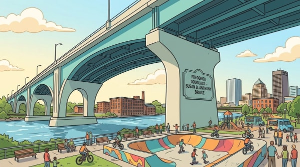
The East End Proved What's Possible
The East End Proved What's Possible
In 2014, the city closed the eastern section of the Inner Loop and started filling it in. Construction of Union Street was completed in December 2017, creating six acres of land for redevelopment (City of Rochester). What happened next was not subtle. The project freed up six acres for development that cleared the way for expansion of The Strong National Museum of Play, a new hotel, and a mix of apartments, restaurants, and shops (WXXI News). As of early 2023, more than 500 housing units had been developed in the former Inner Loop area, with more than 60 percent designated for residents earning below the area median income (City of Rochester).
I go to that neighborhood regularly — dinner, a movie at The Little Theatre, an evening at the Strong. It hums. It feels like a real part of the city again. The transformation of the Inner Loop East has been hailed by urban planners as a national blueprint for neighborhood reconnection (RBJ), and the New York Times praised it in a 2021 editorial as a model for removing urban highways to improve American cities.
That's the proof of concept for everything that comes next.
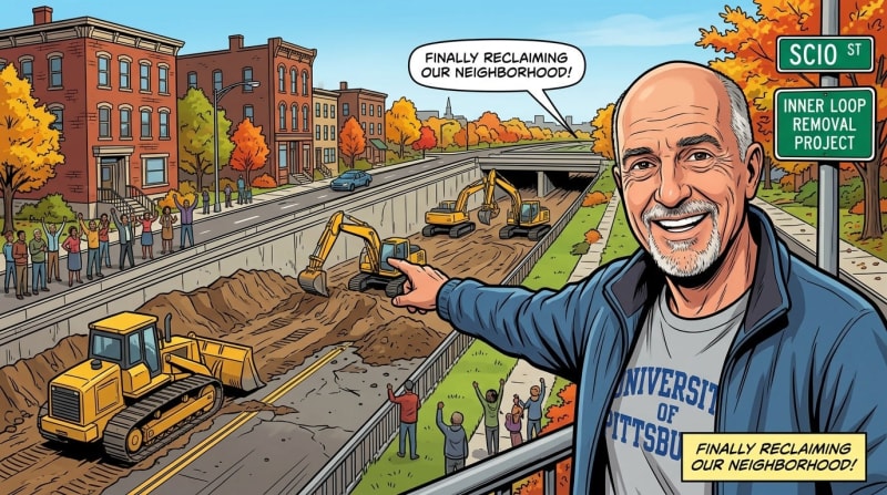
What the North Project Actually Involves
What the North Project Actually Involves
The Inner Loop North is a much bigger undertaking. Where the eastern section was two-thirds of a mile with three bridges, the northern stretch runs 1.5 miles, crosses 10 bridges including one spanning the Genesee River, and involves 7,000 feet of retaining walls (WXXI News). The total project cost is approximately $223 million.
Funding is now in place. New York State committed $100 million in 2022. In January 2025, the federal government awarded Rochester $100 million through the Reconnecting Communities grant program — the largest award of its type ever given to a single community (WXXI News). Design work is currently being led by Stantec, a Rochester-based engineering firm. Groundbreaking is expected in March 2027, with a completion date estimated for November 2028 (Rochester City).
What Gets Built in Its Place
What Gets Built in Its Place
When the highway comes out, the project will create approximately 22 acres of new land between I-490 and North Union Street (Wikipedia). The city plans to open 14 acres for redevelopment and dedicate 8 acres to green space, including expansion of existing parks (Rochester First). The street grid restored in its place will be walkable and bikeable, with Stantec's design including a raised two-way cycle track with brightly colored, permeable pavement to manage stormwater.
The transformation will reconnect downtown Rochester with several neighborhoods, the Public Market, and High Falls (City of Rochester) — communities including Marketview Heights, Lewis Street, and Grove Place that have been physically cut off from the city center for six decades. The community engagement process has been intentional about prioritizing current residents, with local advocates pushing for city hiring commitments and development that serves people already living there rather than displacing them.
Why This Matters Beyond Rochester
Why This Matters Beyond Rochester
Rochester is not alone in doing this. A New York Times reporter has identified 28 cities, including Detroit, that are considering removing parts of highways to revitalize their cores and reimagine modern urban landscapes (innerloopnorth.com). The reckoning is with infrastructure decisions made seventy years ago that cut through low-income neighborhoods and communities of color without regard for the people who lived there. Research has since shown that living near urban highways can increase rates of cancer and asthma, and that property values fall near major roadways due to pollution and noise (Sierra Club).
Once Inner Loop North is complete, nothing of the Inner Loop Highway will remain other than the on- and off-ramps that once connected it to I-490 (innerloopnorth.com). A city that spent sixty years building a moat around itself is choosing, finally, to fill it in. What grows there next is the more interesting story — and Rochester gets to write it.
Content ID: GjTjHHe0EIia1TkU2MnWQ3Nw
See an error? Tell us.
Keep Reading

Rochester Just Became America's Laser Research Hub — What the STELLAR Engine Means for Our City
Roc City Skatepark Phase 2 Is Opening This October — Rochester Is About to Have the Biggest Concrete Skatepark in New York
Rochester Is About to Rewrite Its Zoning Code — Here Is What Changes and What It Means for Your Neighborhood
Comments
Share with the Community