The Genesee Riverway Trail: Rochester's 24-Mile Urban Escape You're Only Using a Fraction Of
The Short Version
- The Genesee Riverway Trail spans 24 miles through Rochester, connecting more than 20 parks from Charlotte Beach to Genesee Valley Park — and most residents know only one section of it.
- At the southern end, the trail connects to the 90-mile Genesee Valley Greenway, making Charlotte Beach a potential starting point for a journey all the way to Letchworth State Park.
- High Falls drops approximately 96 feet through the gorge, making it one of the most significant urban waterfalls in the northeastern United States — and the trail passes within reach of it.
- Turning Point Park's half-mile wooden boardwalk over the river marsh is one of Rochester's most underused trails, accessible from Boxart Street with easy parking.
- Corn Hill Landing is the most practical entry point for a first full-trail experience: parking, restrooms, river views, and access in both directions from the geographic midpoint.
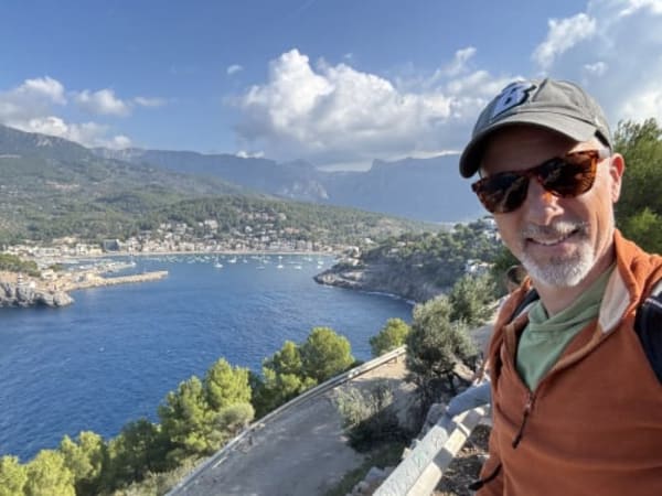
The Genesee River runs through this city like a fact most people half-acknowledge. You've crossed it on the 490, maybe looked down from the Court Street bridge, maybe walked the path near Corn Hill Landing on a Saturday afternoon and felt something open up — the water, the air, the sudden quiet inside a loud city. What most Rochester residents don't know is that the path you're standing on is one small section of the Genesee Riverway Trail Rochester — a 24-mile multi-use corridor connecting Charlotte Beach and Lake Ontario to the southern edge of the city, and from there through 90 more miles of former railroad corridor south to Letchworth State Park.
Twenty-four miles. Most of us have walked one.
This is not a complaint. It's an invitation to understand what's already here.
What the Genesee Riverway Trail Actually Is
What the Genesee Riverway Trail Actually Is
According to the City of Rochester's official trail page, the Genesee Riverway Trail connects more than 20 parks and natural areas along the river — running from the Lake Ontario shoreline in Charlotte south through the gorge, past downtown, through Corn Hill and the South Wedge, and into Genesee Valley Park. The surface changes as you move through the city: paved sections along the northern waterfront, a wooden boardwalk over Turning Point Park's river marsh, on-street connections through the urban core, and packed-surface park paths through Genesee Valley.
At the southern end, the trail connects to the Genesee Valley Greenway State Park, a 90-mile former railroad corridor managed by New York State Parks that follows the river south through Avon, Mount Morris, and Letchworth State Park all the way to Cuba, New York. The full connected system — Riverway plus Greenway — adds up to 114 miles of mostly car-free travel from the Lake Ontario shore to the Southern Tier.
Most Rochester residents think of this as a park path. It is actually a network.
The scale matters because it changes what's possible. A 24-mile urban trail is already significant — long enough for a full day's ride, diverse enough to feel like a different city depending on where you start. But knowing it connects to 90 more miles south means Charlotte Beach becomes a gateway, not an endpoint. What trail do you already know that connects to something this large?
The Northern Section: Lake Ontario to Turning Point Park
The Northern Section: Lake Ontario to Turning Point Park
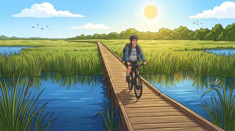
The northern end of the Genesee Riverway starts at Charlotte Beach, where the river mouth opens into Lake Ontario. This is the flattest, most wide-open section of the trail — the kind of Genesee River bike path that works for road cyclists and families with strollers equally. It follows the river south through wetlands toward Turning Point Park, about two miles in. The parking lot at the intersection of Lake Avenue and the beach is the easiest entry point, and on a clear morning the view across the lake toward Canada is the kind of thing that resets you before you've walked half a mile.
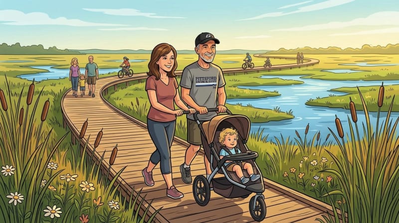
Turning Point Park is one of Rochester's genuinely underappreciated places. The park takes its name from the point where river-piloted log drives once turned for the journey downstream — and today, its half-mile boardwalk over the river marsh is the kind of infrastructure you don't expect to find inside a city. The boards are slightly springy underfoot. Red-winged blackbirds are loud in the reeds. The marsh stretches wide, and in the early morning, it is quiet in the way that makes you stop walking and just look.
The Turning Point Park trail is accessible from both Boxart Street on the east and Lake Avenue on the west. If you're starting here rather than at Charlotte Beach, the Boxart Street entrance has easier parking and connects directly to the boardwalk. Families with strollers use this section regularly — as do runners, cyclists, and dog walkers — which tells you everything you need to know about the surface quality and the welcome.
What would it mean to start a Sunday morning at Charlotte Beach and walk the river all the way into town? That option has been here the whole time.
The Gorge Section: Maplewood to High Falls
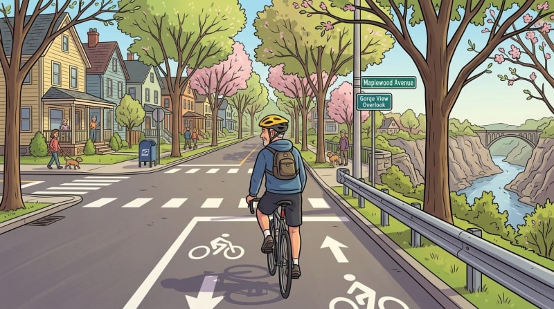
The Gorge Section: Maplewood to High Falls
South of Turning Point Park, the trail enters its most dramatic chapter. The Genesee River gorge through Rochester is not exactly a secret — anyone who has looked down from the Driving Park Bridge knows the scale — but most people experience it from above rather than alongside. The gorge section of the trail descends toward the riverbed, following the rim and then the bank past Maplewood Park toward the Lower Falls overlook.
From there, the High Falls trail access runs through the gorge toward the falls themselves, which drop approximately 96 feet — one of the most significant urban waterfalls in the northeastern United States. The ongoing High Falls State Park development will eventually create a more formalized access corridor through this section, bringing the gorge into the state park system and improving year-round access for riders and walkers who want to experience this stretch of the trail in every season.
The three Genesee waterfalls visible from the gorge trail vary considerably in scale. Here is how the numbers compare:
There is currently a gap in the trail through this section — a stretch requiring on-street navigation along Maplewood Avenue — that Reconnect Rochester has identified as a priority for closure. That organization has been central to trail improvements across the city, and their advocacy is the reason the gaps that exist now are documented and mapped rather than simply unknown. The gorge trail isn't broken. It just requires a little navigation in one spot, and knowing that in advance takes the friction out of it entirely.
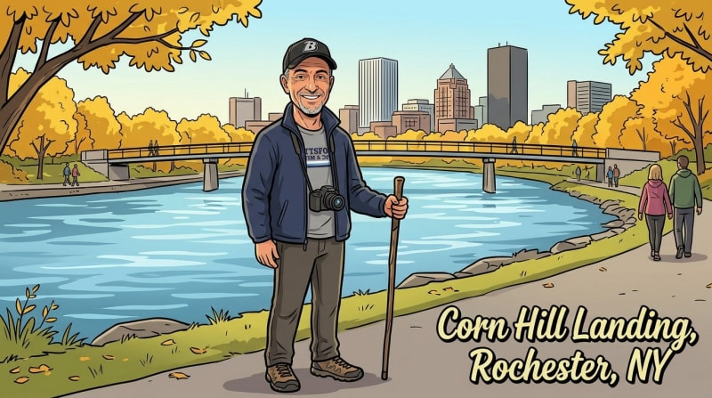
The Urban Core: Corn Hill Landing to South Wedge
The Urban Core: Corn Hill Landing to South Wedge
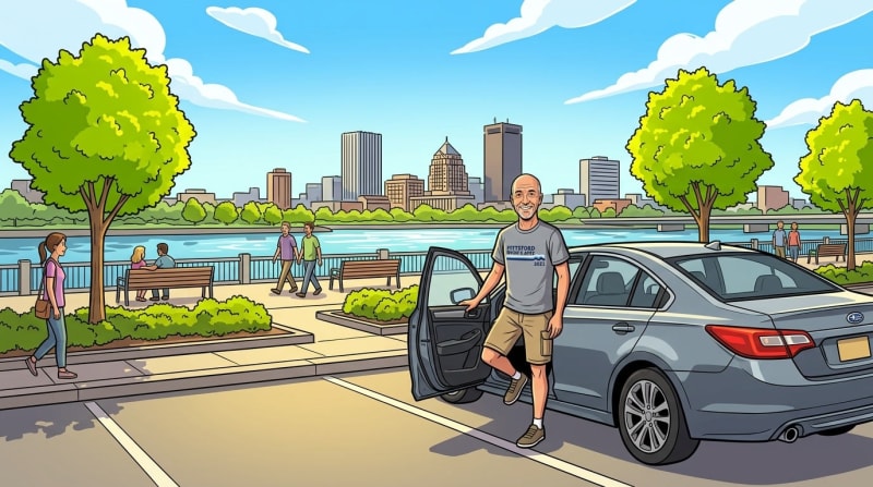
Corn Hill Landing is where most Rochester residents encounter the riverway trail for the first time. It is the most accessible section in the city — a parking lot off Plymouth Avenue, restrooms, a landscaped promenade along the river with benches and open views — and the easiest place to understand what this trail is trying to be. On a weekend afternoon, Corn Hill Landing shows you exactly who this trail belongs to: it belongs to everyone who shows up.
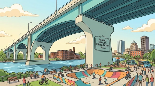
From Corn Hill, the Rochester waterfront trail crosses the river via the Pont de Rennes pedestrian bridge — named for Rochester's sister city in France — and continues along the east bank south toward Genesee Valley Park. The bridge is worth the walk on its own: a mid-river view in both directions, the downtown skyline upstream, the gorge rim downstream, and the sound of the water moving fast below the deck.
The South Wedge sits one block from the trail's east-bank path on South Avenue. That mile of restaurants, breweries, and cafes is the kind of neighborhood stop that makes a trail feel like an actual route through somewhere real — not a loop back to the parking lot. Knowing that exit is within reach changes how you think about the whole trip.
Reconnect Rochester has noted that the Inner Loop North removal is creating new opportunities for better trail connections through the downtown section — which means the urban core portion of this route will continue to improve as those infrastructure changes take hold. Here is a rough orientation of how the full 24-mile trail divides across the city:
The urban core section is the connector — the point where the river trail stops being a park and starts being something you could actually use to move through your own city.
How to Walk or Ride the Genesee Riverway Trail Rochester End to End
How to Walk or Ride the Genesee Riverway Trail Rochester End to End
Completing the Genesee Riverway Trail from end to end requires planning, not heroics. The trail is 24 miles, multi-use, and mostly well-marked — but the on-street sections need attention in advance, and the surface types change enough that knowing what's ahead makes the whole thing easier.
For bikes, the northern and urban core sections are paved and accessible on any bicycle. The gorge section is more rugged but manageable on a hybrid or road bike. According to New York State Parks, the Genesee Valley Greenway extension south of the city is predominantly crushed stone — better suited to a hybrid or mountain bike for anyone continuing past Genesee Valley Park toward Letchworth. For walkers and runners using Rochester bike trails and running paths for training, the full Riverway is accessible in trail shoes or road shoes on the paved sections, with the gorge requiring a bit more attention to footing.
The surface breakdown across the 24-mile Riverway looks roughly like this:
Reconnect Rochester publishes maps and trail condition updates and is the best resource for planning a through-trip or a first partial run. They have been the civic backbone of trail improvement advocacy for years, and their maps are accurate and current. If you want a partner organization for planning, they are it.
The best entry point for a first full-trail experience is Corn Hill Landing — it sits near the geographic midpoint, has parking and restrooms, and puts you within easy reach of both the gorge section to the north and Genesee Valley Park to the south. From Corn Hill, you choose your direction, your distance, your pace. That kind of flexibility is rare on a trail this long.
What would it mean for this city if more people understood that the path along their stretch of the river connects to every other neighborhood along the water — and eventually to a 90-mile corridor reaching the Grand Canyon of the East? The infrastructure is already here. It has been for years. The only thing missing is the knowledge that the trail you're standing on goes somewhere much bigger than you thought. Come find out.
Content ID: IHZqKFUycvMsa9WYkPA5CbVZ
See an error? Tell us.
Comments
Share with the Community
Keep Reading
Roc City Skatepark Phase 2 Is Opening This October — Rochester Is About to Have the Biggest Concrete Skatepark in New York
Rochester Is About to Rewrite Its Zoning Code — Here Is What Changes and What It Means for Your Neighborhood
Eleven New Townhomes Could Rise on Rochester's Last Inner Loop Parcel — Here's the Plan